Quote of the Month:
“Nature gives to every time and season some beauties of its own." - Charles Dickens
“Nature gives to every time and season some beauties of its own." - Charles Dickens
| Location: | North Cascades Region |
| Roundtrip: | 7.6 miles |
| Elevation Gain: | 1,400 feet |
| Highest Point: | 1,950 feet |
| GPS Coordinates: | N 48 43.093 W 121 7.095 |
| Visitor’s Information: |
Discover Pass Not Required |
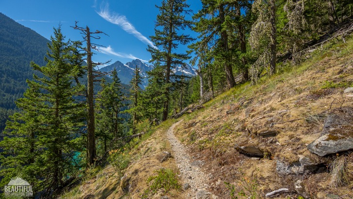
The magnificent Diablo Lake is not a natural lake, but a reservoir, artificially created by Diablo Dam and is situated between the Ross Lake and Gorge Lake.
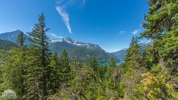
The Diablo Lake Trail is a moderate 7,6 miles (roundtrip) hike, providing you with a great opportunity to admire the breathtaking view of the lake and mountains surrounding it.
Starting from the parking lot of the North Cascades Institute, it stretches forward along the northern shoreline of Diablo Lake.
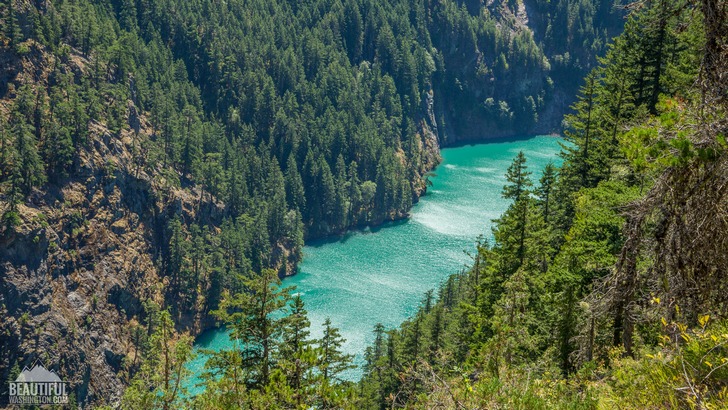
The Diablo Lake trailhead is just next to a marvelous, spectacular beach, opening the first scenic view of the trip for you.
Within the first mile from the trailhead, the trail takes you through the mossy old-growth forest, slightly gaining the elevation, and then passes one of the boulder fields. In about 1.5 miles, at the place where the power lines cross the trail, there is a side trail leading to an overlook showing the hikers the scenic view of Diablo Lake.
The water of the lake has an exceptional turquoise color, which originates from the silt grinded from the rocks by surrounding glaciers and brought to the lake through creeks.
Further along your path you will be pursued by outstanding views of numerous mountain peaks. Then the trail will take you along the gorge with the Skagit River below, pass some switchbacks and go down to the suspension bridge near the Ross Lake Dam.
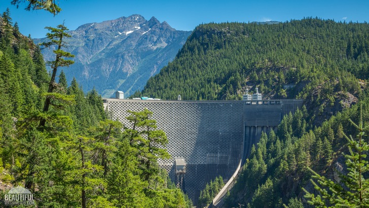
Unfortunately in 2010 the rock slide made the second part of the trail impassible, so the suspension bridge is closed at its east end.
Diablo Lake Trail takes you through the area with a rich flora and fauna. If you hike in spring you will be able to see a variety of blooming flowers, later in summertime – some berries. Being attentive you’ll see numerous bird species, some forest toads, a lot of squirrels and grouse.
Some hikers reported black bears seen in the area.
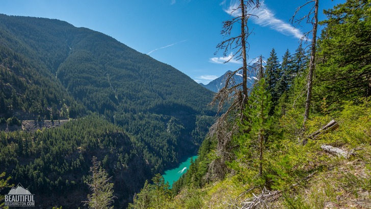
This really well maintained trail, open for the hikers from April up to November, may become a great experience for you and your family.
 Diablo Lake Trail 01
Diablo Lake Trail 01
Diablo Lake Trail 01
 Diablo Lake Trail 02
Diablo Lake Trail 02
Diablo Lake Trail 02
 Diablo Lake Trail 03
Diablo Lake Trail 03
Diablo Lake Trail 03
 Diablo Lake Trail 04
Diablo Lake Trail 04
Diablo Lake Trail 04
 Diablo Lake Trail 05
Diablo Lake Trail 05
Diablo Lake Trail 05

 Diablo Lake Trail 07
Diablo Lake Trail 07
Diablo Lake Trail 07
 Diablo Lake Trail 08
Diablo Lake Trail 08
Diablo Lake Trail 08
 Diablo Lake Trail 09
Diablo Lake Trail 09
Diablo Lake Trail 09
 Diablo Lake Trail 10
Diablo Lake Trail 10
Diablo Lake Trail 10
Take the North Cascades Highway (SR20), drive east on it for about 20 miles to the Gorge Lake Bridge. After crossing the bridge drive 1.5 miles and then turn to Diablo Dam Road. It will have a sign for the North Cascades Environmental Learning Center. Drive along this road, cross the dam, drive further for a mile and at the end of the road will be the trailhead.
In order to get directions click on the map below:
Photo: Roman Khomlyak
Photo Editing: Juliana Voitsikhovska
Information: Svetlana Baranova
Leave your comment